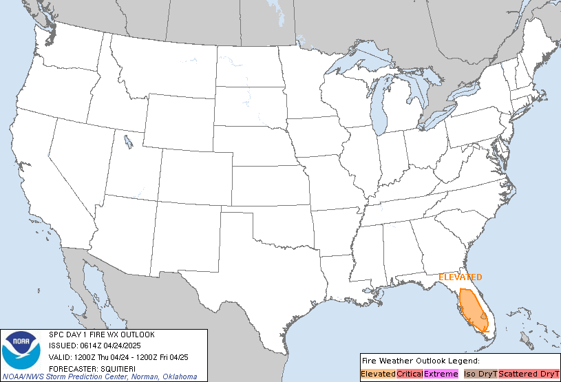
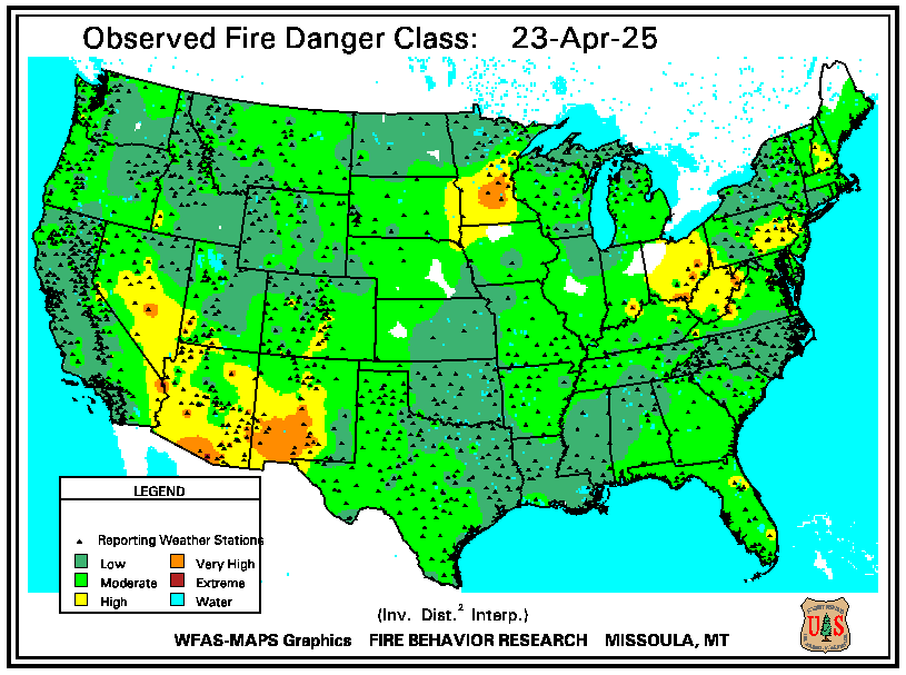
Area wild fire threat
 |
|---|
| Santa Ana Threat |
Fire Weather Index - Code Red
Recorded at Solar NoonForecast is for hottest time of day, about 2-4 PM
|
MODERATE FIRE DANGER IS FORECAST Fires can start from most accidental causes but, with the exception of lightning fires in some areas, the number of starts is generally low. Fires in open cured grasslands will burn briskly and spread rapidly on windy days. Timber fires spread slowly to moderately fast. The average fire is of moderate intensity, although heavy concentrations of fuel, especially draped fuel, may burn hot. Short-distance spotting may occur, but is not persistent. Fires are not likely to become serious and control is relatively easy. FIRE BEHAVIOUR: Fire Weather Index ... MODERATE (8) Initial Spread .......... LOW (2) Build Up Index ........ VERY HIGH (62) FUELS MOISTURE: Fine Fuel Moisture .. MODERATE (85) Duff Moisture ......... VERY HIGH (48) Drought ................ HIGH (221) |
Chandler Burn Index
National Fire Risk Assessment. | |

|

|
Drought/Rain
| Element | Value | Description |
|---|---|---|
| Drought (FWI) | 151 | Drought: Moderate |
| Rain Today | 0.00 | |
| Rain Month | 0.38 | |
| Rain Year | 11.80 | Since January 1 |
| Days No Rain | 9 | Days |
| Record No Rain | 68 | Days (Station records 2004 to Present) |
| Last Rain | 4/15/2024 |


